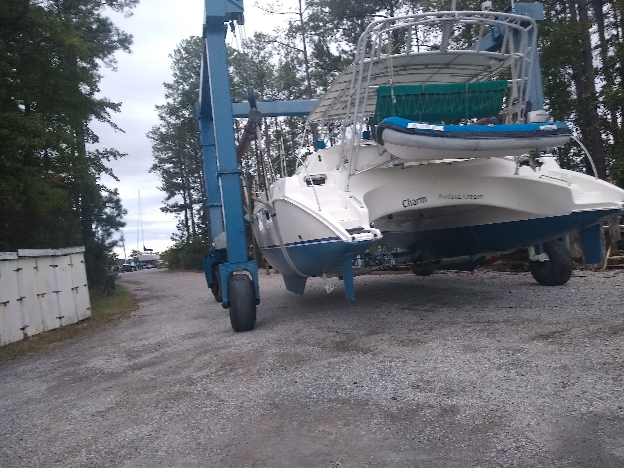
It has been 10 months since "Charm" has been out of the water and it is about time to get her back in. On 10/2, Friday, she went back in and is loving it.

Where's the boat

Oh moving to the water

Look it still floats :)


So right now she looks more like a power boat, no mast, it will only be a matter of days until the mast and boom are back on and she will look like a normal sailing catamaran.


